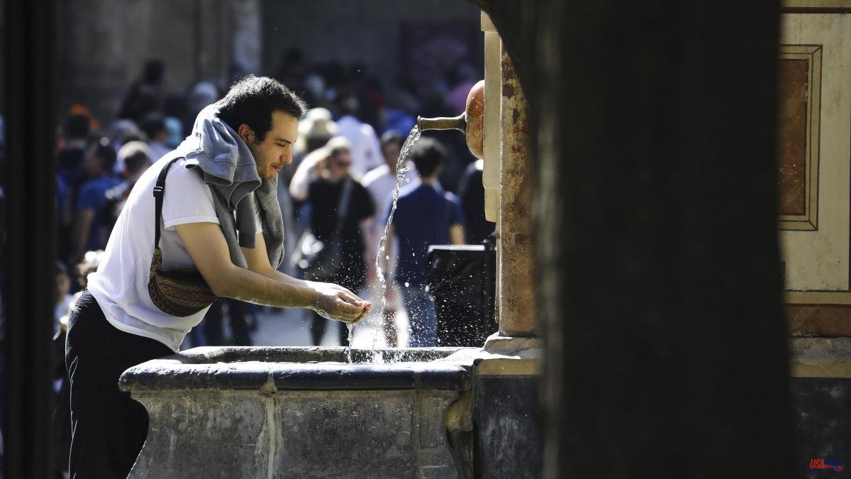
Hot, cold and hot again. The next few days will be marked by "abrupt variations" in temperatures in Spain. The weather will change depending on the days, changes that respond to the passage of several fronts that will leave precipitation, especially in the northwest of the peninsula, according to the forecast of the State Meteorological Agency (Aemet).
Between this Wednesday and Thursday, a generally warm environment is expected for the time of year, but on Friday and Saturday, a "marked drop in thermometers" will normalize the values, according to the agency's spokesman, Rubén del Campo. .
Temperatures are expected to rise today throughout the peninsula, except on the Mediterranean coast, where they will drop due to the effect of the breezes. The recovery will be up to 6 or 8 degrees compared to Tuesday and, thus, in towns such as Badajoz or Granada, 25 degrees will be reached.
Same scenario for Thursday, a new anticyclonic day in general, with high values for the time of year. However, the cloudiness will increase in the west with rains in Galicia starting at noon and, which could extend to the last hours, to nearby areas of Asturias and Castilla y León.
In large areas of the center and south of the peninsula and in cities such as San Sebastián, Bilbao and Madrid they will register 25-27 degrees tomorrow. "It will be a day with quite high maximums for the time of year, between 5 and 10 degrees above normal, more typical of May or June," says Del Cambio.
The weather will change from Friday due to the arrival of a front and the turn of the winds to the west will favor a "notable drop in the daytime", of up to 8 or 10 degrees compared to Thursday's temperatures, except in Galicia, Asturias and the Mediterranean, specified the Aemet spokesman, who has described this scenario as "thermal fluctuations".
That day the thermometers will show "values more appropriate for the time of year", with greater intensity in the daytime, because at night, the effect of the clouds and the wind will prevent the thermometers from descending further at night.
In addition, a front will leave rainfall on Friday in Galicia, western Castilla y León and Extremadura, which in a weaker and more dispersed way may spread to other points in the western half of the peninsula and to the central area.
During Saturday, the rains will affect the Eastern Cantabrian Sea and the Pyrenees, without ruling out some spring showers in inland areas and with temperatures that will continue to drop a little more, such as in Madrid, Jaén, A Coruña or Cuenca, where the maximum will range between 15- 17 degrees, although in Murcia they could exceed 25 degrees.
Temperatures will recover again for Sunday and Monday. To say goodbye to the week, the thermometers will mark more than 20 degrees in large areas of the northeast, center and south of the peninsula, and up to 25 degrees in Seville and Zaragoza.
The Aemet speaks of early spring weather, with "general temperatures above the normal average for the time of year." In fact, March 13 was the warmest day for that date since 1950 in the whole of Spain. “It was, therefore, a record warm day. In 2023 we have already had three: February 20 and March 12 and 13, ”says the agency in a Twitter thread.
Spanish meteorologists believe that "temperatures will continue to be high for the remainder of March, especially in the east of the peninsula."


